Fall topwater? Natural Springs? thermal-mapping (mu-ha-ha)
Posted: Fri Sep 07, 2007 9:13 am
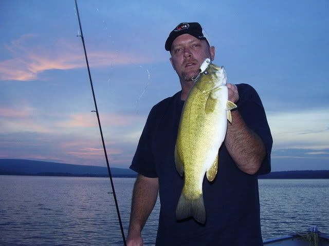
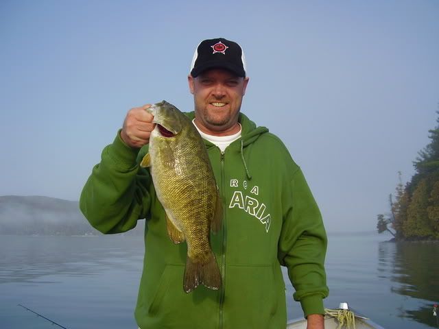
1. Come September, is it time to put away the top water? (for smallies).
2. Natural springs flowing into a lake - do they attract fish and why? (in my experience yes they do, and I'm guesses it is because they promote vegitation / plankton, that promotes minnows etc). I'm talking small trickling brooks that are not visible entering the lake.
3. Everyone has depth charts, but it would be pretty neat to get a thermal map of a lake. I've seen maps (of cities, not of lakes) produced by Infra-red cameras flown beneath planes / choppers. Imagine getting one of your favorite fishing lake? Would be neat to identify current patterns, inflowing streams etc.